Why is the Mimico Creek trail still missing?
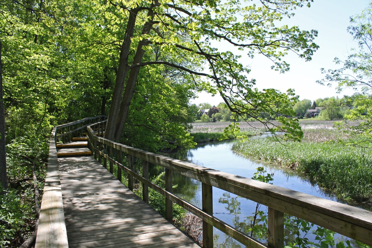
If you've ever wondered why there's no trail along Mimico Creek between Park Lawn Boulevard and The Queensway, you've probably noticed the same gap: the creek trail has been on paper since before most of the condos at Humber Bay Shores existed. The shoreline path through Mimico Waterfront Park is a separate, completed route; the missing link is along the creek.
The Completed Shoreline Path and the Missing Creek Trail
The finished section is real and it's good. Waterfront Toronto opened the first 600 metres of Mimico Waterfront Park in 2008, then completed the final 500-metre phase in October 2012, giving the corridor 1.1 continuous kilometres of shoreline park between Norris Crescent Parkette and Humber Bay Park West, complete with cantilevered boardwalk sections and a separate multi-use path for cyclists.
What never got built is the piece just east and inland of that: a Mimico Creek trail connecting roughly Park Lawn Boulevard to The Queensway. The Mimico Residents Association, which represents the roughly 40,000 residents of southeast Ward 3, has been asking the city to finish it for years. In a 2026 deputation to the Toronto City Budget Committee, the association's board described it plainly: this is a short, inexpensive trail of less than 2 kilometres, and it's been on paper since a 1999 watershed task force and a 2002 revitalization strategy laid out exactly what should happen along both Etobicoke and Mimico Creeks.
"Please don't wait 24 more years."
That's Drew Blackwell, on the association's board, addressing the budget committee this year. The number isn't rhetorical. It's how the residents association itself measures the wait, tracing back to the 2002 revitalization strategy that formalized the original watershed task force's vision for both creeks.
Two Decades of Waiting on One Prerequisite
Here's the part that explains the delay without excusing it. A 2016 city staff report on Etobicoke and Mimico Creeks specified that two other projects had to be finished before Mimico Creek trail planning could even proceed: water treatment infrastructure near Bonar Creek, and the Legion Road Extension. Neither was ready. Both are now.
The Legion Road Extension has money behind it in the 2026 capital budget, which the residents association calls out as a welcome, overdue line item. The Bonar Creek water treatment plans have also reached the construction-ready stage. In other words, the specific obstacle a city report identified a decade ago has finally cleared. What hasn't happened yet is the next step: actual design review and construction funding for the Mimico Creek trail itself.
There's a useful contrast sitting right next to this story. The same 2026 budget that funds the Legion Road piece also funds what the residents association calls the Sherway "missing link" on the Etobicoke Creek trail, a separate but related watershed on the other side of South Etobicoke.
| Waterway | Status heading into 2026 | Length of missing link | Origin of the plan |
|---|---|---|---|
| Etobicoke Creek (Sherway) | Funded in the 2026 city capital budget | Not detailed in this budget cycle | Not specified |
| Mimico Creek (Park Lawn Blvd to The Queensway) | Prerequisites cleared; construction funding still requested | Less than 2 kilometres | 1999 Watershed Task Force, formalized in a 2002 revitalization strategy |
Two creeks, one governing task force history, one funded this year and one still asking. If you live in Mimico or Humber Bay Shores and have wondered why your neighbour's trail run always seems to route through the same three side streets, that table is the answer.
The Shoreline Route Nearby
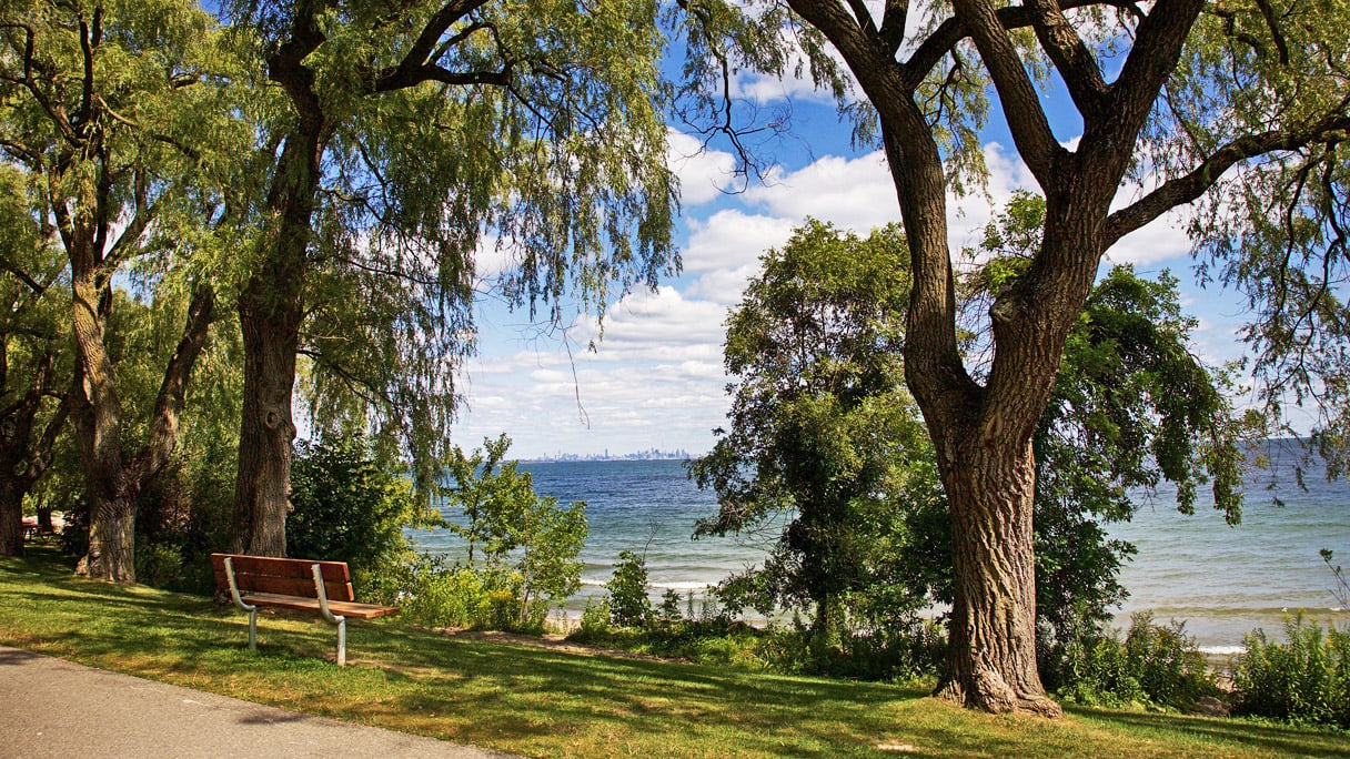
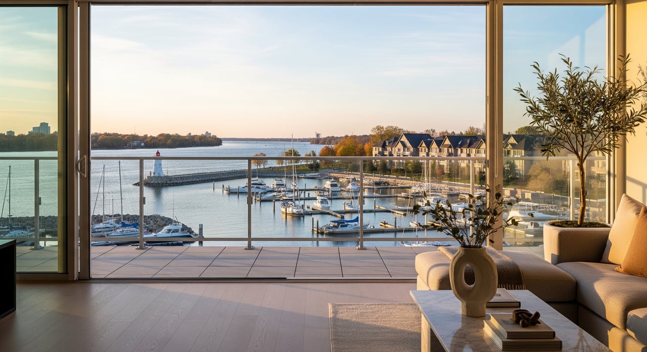
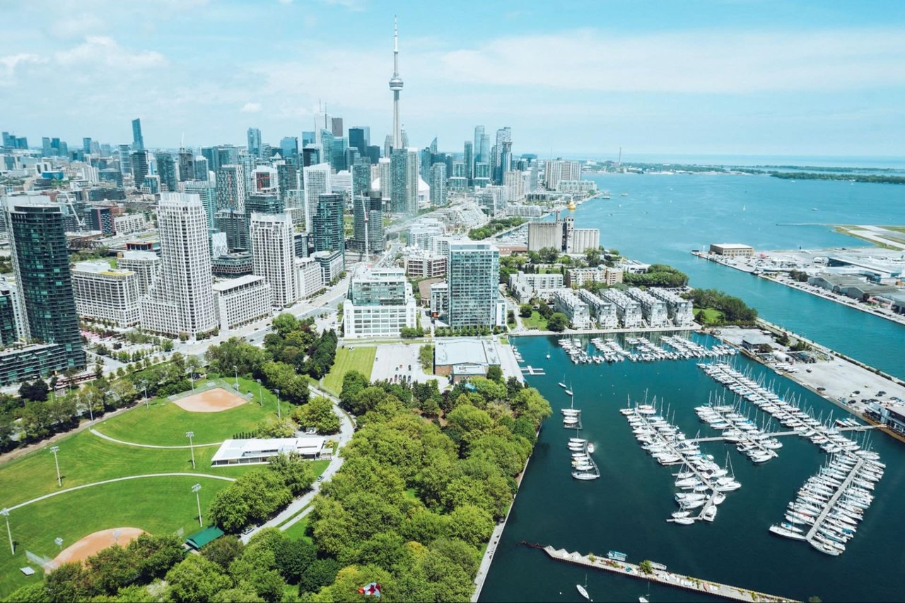
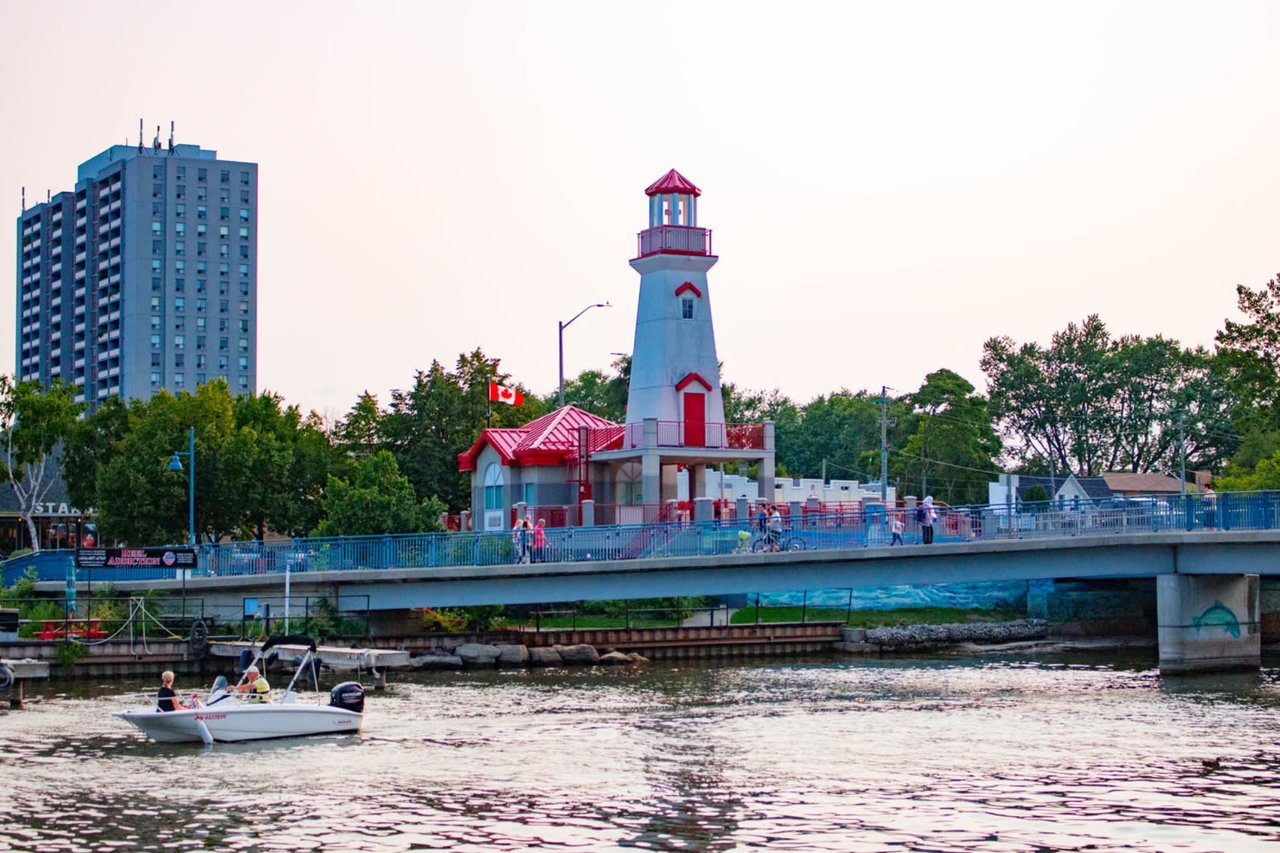
The missing creek-trail link is separate from the completed shoreline route. For a ride east along the waterfront, locals can pick up the shoreline at Humber Bay Park West and continue past the Etobicoke Yacht Club, through Humber Bay Shores, and over the Humber Bay Arch Bridge before connecting into the Sunnyside boardwalk. Along the way, Sheldon Lookout is the spot people actually stop for a photo, not because a sign tells them to, but because it's the cleanest sightline back to the downtown skyline on the whole stretch.
It's a genuinely nice ride along the shoreline, but it doesn't fill the missing creek-trail link. That remains a separate gap for anyone hoping to follow Mimico Creek between Park Lawn Boulevard and The Queensway.
What's Actually Happening on the Waterfront Right Now
The gap in the creek trail hasn't slowed down programming along the parts that are finished. The Humber Bay Shores Waterfront Festival ran on Marine Parade Drive on August 8, and the Humber Bay Shores Farmers' Market continues every Saturday through October 10 at Humber Bay Park West, from 9 a.m. to 2 p.m. Mimico Square keeps its Friday evening summer music series going through the rest of the season, and Amos Waites Park hosts Sunday morning yoga most weekends into late September.
If you caught LUZIA by Cirque du Soleil under the Big Top near Lake Shore Boulevard West and Park Lawn Road this summer, that run wraps up August 30. None of this depends on the creek trail getting built. It's a reminder that the neighbourhood's outdoor calendar is already dense, even with a two-kilometre hole in the map.
Where to Refuel Along the Shoreline Route
The shoreline route has gotten better fed lately. SanRemo Bakery on the Mimico stretch remains the anchor it's always been, known for apple fritters that routinely sell out before late morning, alongside fresh bread, pastries, and a hot lunch table that locals treat as a given rather than a discovery.
Newer additions have filled in around it. New Orleans Steak + Seafood relocated to Lake Shore Boulevard West after more than three decades on St. Clair Avenue West, bringing its Cajun and Creole menu into South Etobicoke rather than starting from scratch. On the Queensway, The Elmwood opened this year as a Buffalo-wing bar from restaurant-industry veterans who moved to Etobicoke and found the neighbourhood short on exactly this kind of casual, kid-friendly-by-day, date-night-by-evening spot. Near Humber Bay Shores, Tis Two Cities brings a more upscale Sichuan menu to a stretch of the waterfront that's historically leaned toward fast-casual.
None of these solve the trail problem. They do mean a ride along the shoreline ends somewhere worth stopping.
Watching the Budget Line
If the Mimico Creek trail does get funded, it will most likely show up first as a line item buried in a future capital budget document, not as a press release. That's worth knowing if you're the kind of resident who checks in on city budget committee agendas, or if you just want to understand why your bike route looks the way it does. The prerequisite work is done. The ask is public. What happens next depends on whether council treats it the way it treated the Etobicoke Creek side this year.
We follow projects like this closely at Larose Team because they shape how a neighbourhood actually lives day to day, long before they show up in a listing description. If you're curious what a home along this stretch of the waterfront is worth right now, or you're weighing a move into South Etobicoke and want a local read that goes beyond the map, we're happy to talk it through. Request a Free Home Valuation whenever you're ready.